Nazaré, Portugal
London, United Kingdom
Reykjavík, Iceland
New York, United States
Singapore, Singapore

Scroll to zoom, drag to pan, double-click to reset.
24c WavesPreview
For anyone on the water: surfers, sailors, kiters, kayakers.
Free demo — no account needed.
Preview: the dial is real, and the way in is an invitation. Write to mat@24c.day and tell us where you would use it.
Make it yours
Loading the model's settings…
The legend
Hover the dial to see what each part is. Click to pin it; Escape lets go.
Legend
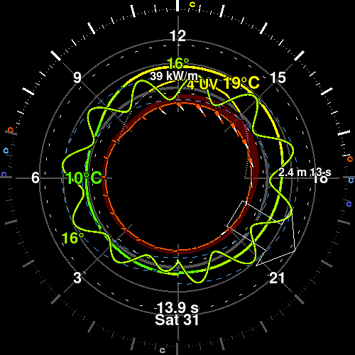
A 24 hour view of the sea from outside it. The tide is the floor and the swell is the ceiling, with one wave between them whose wavelength is the period. Built first for surfers, and read by everyone the same sea decides for: wind, water temperature, cloud and the light share the same face.
One wave whose wavelength is the day's swell period
The peak swell, as height and period, written on the face
Sea temperature in the wave's own colour
Wind socks every hour, with gust stripes
Cloud as a faint ring, and the day's UV index
The day's peak energy and period as reference circles
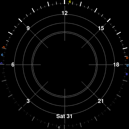
The sun's rim
The sun's rim
The rim is the sky's light through the day — day, both twilights and night — with the sea drawn inside it.
Daylight
The sun is up, and the day's own rules apply.
Civil twilight
The blue hour: the sun is down, the sky still carries colour, and lights start to matter.
Nautical twilight
The next step down: the horizon is still there, but the day is over.
Night
The sun is well down and the sky's warmth is gone.
Time on the dial
The hours
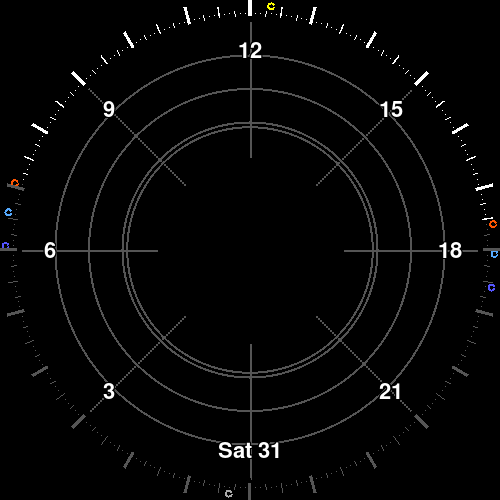
The ticks and numbers around the rim are local clock time: one full turn is one day.
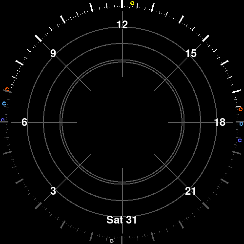
The clock shift
The line where the clock shifts: the hour the zone changes inside the day.
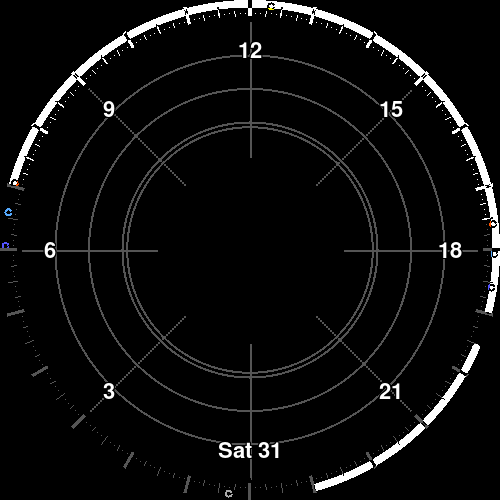
Your calendar
Arcs at the top of the day are events from a connected calendar, hung where they fall.
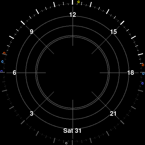
Reference circles
The faint reference circles divide the middle so a value's height can be read by eye.
Sky and light
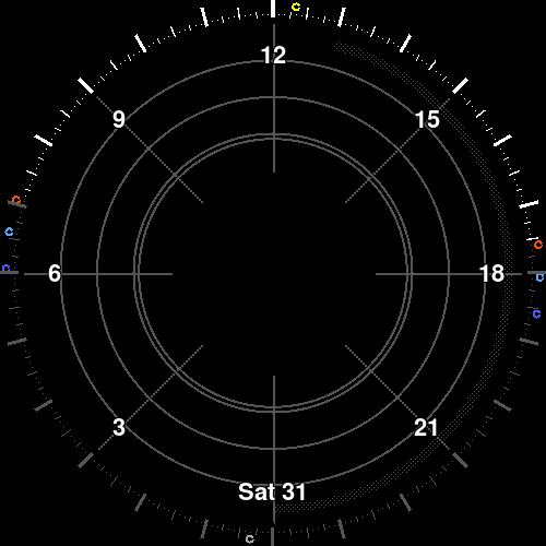
Cloud
The faint ring is the day's cloud cover, drawn where the sky meets the sea.
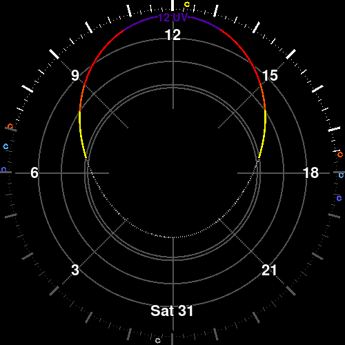
UV
The line inside it is the UV index on its own scale — nothing at the inside, twelve at the outside — in the WHO's bands, so it steps rather than slides. Below three its colour is the plate, so a safe day's line is drawn and not seen.
The water
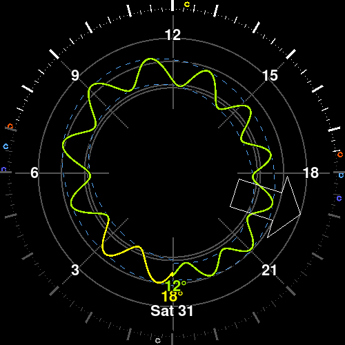
Tide
The curve is the water's height through the day, with high and low water marked where they fall.
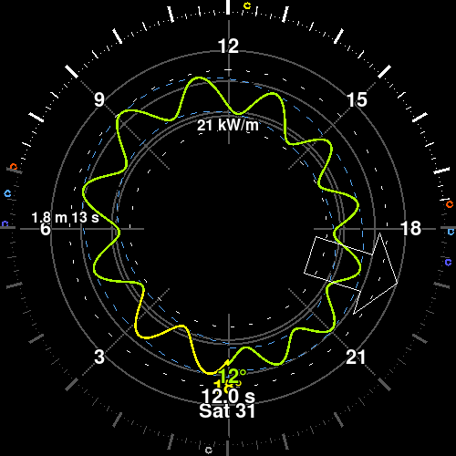
Swell
The wave, the arrows and the labels are the swell: how tall, how long between crests, and where it is going.
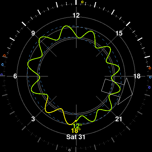
Sea temperature
The colour of the sea band is the water's temperature — the wetsuit question, not the air's.
The weather
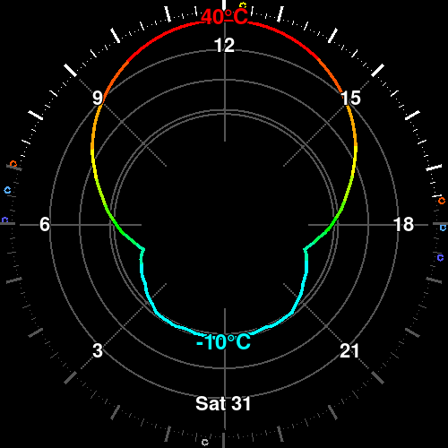
Temperature
The line near the middle is the air temperature: nothing at the inside of its lane, forty at the outside, and a day below zero mirrors back out rather than in — the colour says which side of zero it is, and the value is printed every three hours.
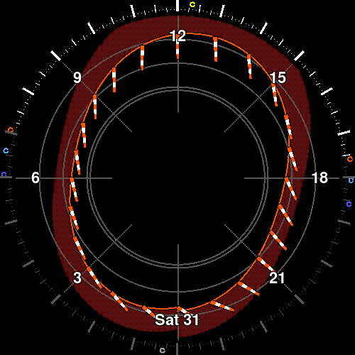
Wind sock
Each sock points downwind — north is up on the dial — and its bands of orange and white count three knots each, the way a real windsock does.
24c Waves
The sea, one revolution.
For anyone on the water: surfers, sailors, kiters, kayakers.
Specs
| Model | 24c Waves |
|---|---|
| Window | 24 hours, one local day |
| Sea band | Tide as the floor, swell height as the ceiling |
| Swell | Height, period and direction, hourly |
| Water | Sea surface temperature on the air's own ramp |
| Wind | 10 m, knots, 3 kt segments with gust stripes |
| Cloud | Total cover, averaged over the altitude bands |
| UV | The WMO's bands, with the day's peak printed |
| Calendar | ICS subscription or Google Calendar |
| Output | Square dial, 64 – 4096 px |
| Palette | 64 colours (RGB222), hard edges, no blends |
| Refresh | Clients poll every 5 minutes |
| Data | Weather forecast |
Get it
Garmin
Connect IQ watchface
Store links come with the first release.
Android
Wear OS watchface and widget
Store links come with the first release.